
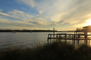
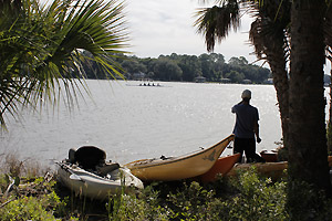
 Trout Creek
Route Description: Start at Boat Ramp 3, then paddle North until the bend in the creek and then paddle West until the 295 overpass, then return to Boat Ramp 3.
Warnings: Watch out for high boat traffic around the 95 overpass.
Points of Interest: Riverview Park

 Ribault River
Route Description: Start at Launch Point 3, then paddle East to Launch Point 4, then return to Launch Point 3.
Warnings: Watch out for high boat traffic around the 95 overpass.
Points of Interest: North Shore Park, Ribault River Preserve, Charles Reese Memorial Park, Lonnie C. Miller Park
 Reddie Point
Route Description: Start at Launch Point 5, then paddle South to the Hart Bridge, then paddle West to Launch Point 9.
Warnings: Watch out for high boat traffic throughout the route. Strong Waves – Experienced Paddles Only, Strong Currents
Points of Interest: Reddie Point Preserve, Blue Cypress Park, Exchange Club Island Park, Bee Street Park, Metro Park and Marina, Southbank Riverwalk
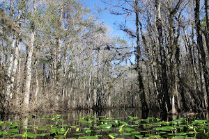 Pottsburg Creeks
Route Description: Start at Launch Point 12, then paddle North to the Arlington River, then paddle East until Big Pottsburg Creek, then paddle South to Boat Ramp 8.
Warnings: Watch out for overhanging tree limbs.
Points of Interest: Little Pottsburg Creek, Arlington River, Big Pottsburg Creek
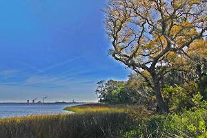
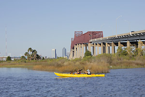 Exchange Island
Route Description: Start at Launch Point 12, then paddle North past the mouth of the Arlington River and into the St. Johns River, then circumnavigate Exchange Club Island Park and paddle South to Launch Point 12.
Warnings: Watch out for high boat traffic on the St. Johns River. Strong Currents on the St. Johns River.
Points of Interest: Exchange Club Island Park
 McCoys Creek
Route Description: Start at Launch Point 8, then paddle East through the tunnel until the St. Johns River, then turn around and paddle West until the 95 overpass, then paddle East back to Launch Point 8.
Warnings: Though the Durbin Creek Wilderness Society has recently led a large clean-up effort of McCoys Creek, this waterway still has significant pollution.
Points of Interest: St. Johns River
 Craig-Christopher Creek
Route Description: Start at Launch Point 13, then paddle South on the St. Johns River, staying close to the East bank, until Launch Point 16.
Warnings: Watch out for high boat traffic on the St. Johns River.
Points of Interest: River Oaks Park, Nathan Krestful Park
 Yacht Basin
Route Description: Start at Launch Point 15, then paddle North until the St. Johns River, then paddle South along the West bank until the Yacht Basin, then return to Launch Point 15.
Warnings: Watch out for high boat traffic on the St. Johns River. Avoid paddling along the coast of the Jacksonville Naval Air Station property.
Points of Interest: Seminole Park, Stinson Park
 Ortega River
Route Description: Start at Launch Point 14, then paddle South to Launch Point 17.
Warnings: Watch out for high boat traffic on the St. Johns River. Strong Currents
Points of Interest: Stinson Park, Seminole Park, Tillie K. Fowler Regional Park, Ringhaver Park
 San Jose Boulevard
Route Description: Start at Launch Point 16, then paddle South along the East bank of the St. Johns River until Boat Ramp 12.
Warnings: Watch out for high boat traffic on the St. Johns River. Strong Currents
Points of Interest: Nathan Crestful Park, Goodby’s Creek, Plummers Cove, Walter Jones Historical Park
 Goodby’s Creek
Route Description: Start at Boat Ramp 11, then paddle East for about 1 mile, then return to Boat Ramp 11.
Warnings: Strong Currents
Points of Interest: Great for novices.
 Mandarin
Route Description: Start at Boat Ramp 12, then paddle East, South, then West around the bend, staying along the East bank of the St. Johns River until you reach Boat Ramp 14.
Warnings: Strong Currents
Points of Interest: Walter Jones Historical Park, Mandarin Park
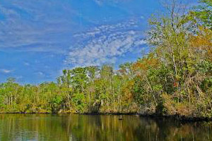
 Julington/Durbin Creek
Route Description: Start at Boat Ramp 14, then paddle East to Launch Point 19, return to Boat Ramp 14.
Warnings: Strong Currents
Points of Interest: Mandarin Park, Julington-Durbin Preserve
 Julington/Durbin Peninsula
Route Description: Start at Launch Point 18, then paddle West until the fork in the creek, then paddle East until Launch Point 19, return to Launch Point 18.
Warnings: Strong Currents
Points of Interest: Palmetto Leaves Park, Julington-Durbin Preserve